Abia State, which occupies about 6,320 square kilometres, is bounded on the north and northeast by the states of Anambra, Enugu, and Ebonyi. To the west of Abia is Imo State, to the east and southeast are Cross River State and Akwa Ibom State respectively and to the south is Rivers State. The southern part of the State lies within the riverine part of Nigeria, it is a low-lying tropical rainforest with some oil-palm brush, the southern portion gets heavy rainfall of about 2,400 millimetres (94 in) per year and is especially intense between the months of April through October. The rest of the State is moderately high plain and wooded savanna. The most important rivers in Abia State are the Imo and Aba Rivers which flow into the Atlantic Ocean through Akwa Ibom State.
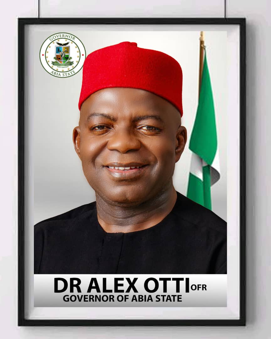
The State Government is led by a democratically elected Governor who works closely with members of the state’s House of Assembly. The capital city is Umuahia.
Crude oil and gas production is a prominent activity, as it contributes over 39% of the State’s GDP. The manufacturing sector only accounts for 2% of the GDP. The industrial centre of the state is in Aba, with textile manufacturing, pharmaceuticals, soap, plastics, cement, footwear, and cosmetics. Agriculture is the second economic sector. It represents 27% of the GDP and employs 70% of the state workforce. With its adequate seasonal rainfall, Abia has much arable land that produces yams, maize, potatoes, rice, cashews, plantains, taro, and cassava, Oil palm is the most important cash crop. There are two major power plants in Abia, The Alaoji Power plant and the Geometric Power plant.
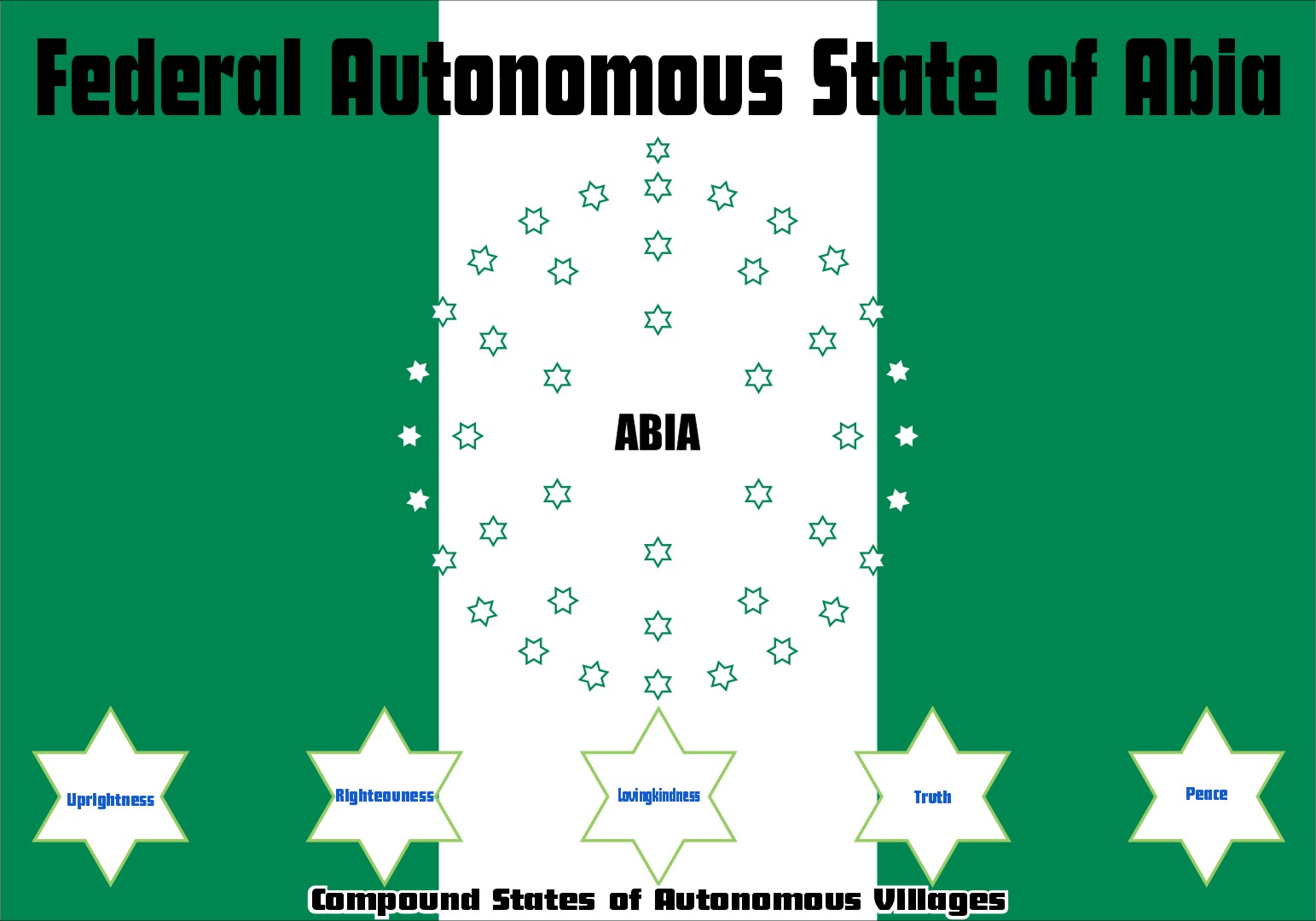
Abia State is one of the thirty-six states in Nigeria and has about seventeen Local Government Areas out of the 774 Local Government Areas that constitute or make up the Federal Republic of Nigeria. Abia State was created on the 27th of August in the year 1991 during the government of General Ibrahim Babangida. The State is located in the south-eastern part of Nigeria. Abia state was created out of Imo State and the two sister states share boundaries. Abia State is known as one of the constituent states of the Niger Delta region. The State has its capital at Umuahia while the commercial city of the state is Aba. Abia State is also referred to as GOD’s OWN STATE. The name “Abia” is an abbreviation of four of Abia state’s densely populated regions Aba, Bende, Isuikwuato, and Afikpo.
Abia State is an Igbo speaking state and is found under the Igbo ethnic group. The Igbo people, who are one of the indigenous peoples of the South-eastern part of Nigeria, make up 95% of the population. Their traditional language, Igbo is in widespread use. English is also widely spoken and serves as the official language in governance and business.