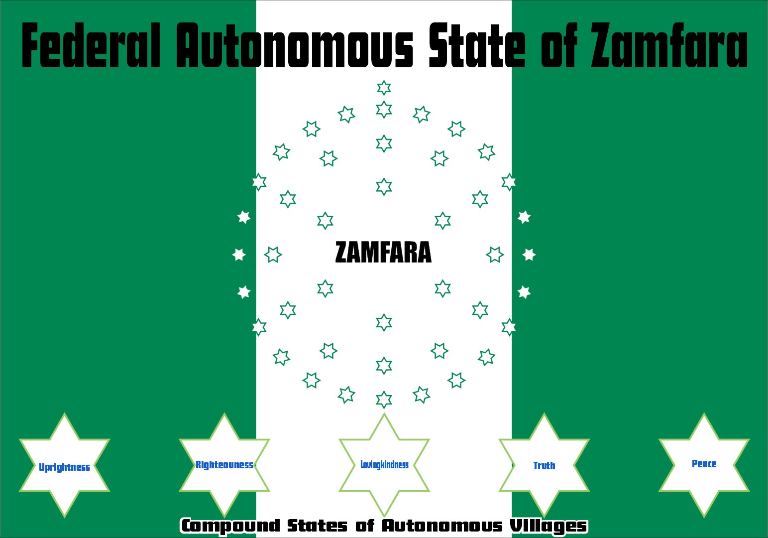
Farming is our pride
ZAMFARA STATE
جهار زمفر


Geography
Zamfara is a densely populated area with the Hausa and Fulani peoples. The Zamfarawa are mainly in Anka, Gummi, Bukkuyum and Talata Mafara Local Governments areas. Gobirawa populated Shinkafi Local Government. Gobirawa actually migrated from the Gobir Kingdom. Burmawa is found in Bakura and Fulani peopled Bungudu, Maradun, and Gusau and are scattered all over the State. In Chafe, Bungudu and Maru, most are mainly Katsinawa, Garewatawa and Hadejawa. While Alibawa people are located at Kaura Namoda and Zurmi, the Alawan Shehu Usmanu Fulani are found in Birninmagaji.
It is bordered to the north by the Republic of the Niger, to the south by Kaduna State, to the east by Katsina State, and to the west by the states of Sokoto, Kebbi and Niger.
The climate condition of Zamfara is tropical with temperatures rising up to 38 °C (100.4 °F) and above between March and May. The rainy season starts in late May to September while the mild season known as Harmattan lasts from December to April. The hottest months in Zamfara are March and April which is just before the first rains. the onset of the rains brings a cooling effect with the temperature dropping.

Politics & Economy
The current governor of Zamfara state is Bello Mohammed Matawalle.
Agriculture and gold mining are the state’s main occupations and the central source of income. Irrigation is required for cereals and legumes, hence the slogan “farming is our pride”.
Over 80 per cent of the population is engaged in agriculture. Major products include millet, guinea corn, maize, rice, groundnut, cotton, tobacco and beans. The State is known as farming is our pride because Agriculture provides foodstuff, raw materials and employment opportunities to young people in the State.
Zamfara State holds a number of tourist attractions that are of historical or religious importance. These include Jata, an ancient settlement of Zamfara located around the hill with a large cave where traditional practices were performed.

State History
The people of Zamfara have over the years struggled for autonomy, but it was not until 1996 that the then military administration of the late General Sani Abacha detached the Zamfara State from Sokoto State with an area of 38,418 square kilometres. The first Governor was Jibril Yakubu.
The area today called Zamfara state was one of the old states like Kano, Katsina, Gobir, Kabi and Zazzau. The earliest inhabitants of Zamfara were said to have been hunters and giants. They established their first settlement at Dutsi, which was the first capital of Zamfara. It extends up to the bend of River Rima to the northwest and River Ka in the southwest. The Zamfara Kingdom was established in the 11th century and flourished up to the 16th century as a city-state. Its capital has shifted with the fortunes of the kingdom from place to places like Dutsi and Birnin Zamfara.
In the first half of the 18th century, its then capital Birnin Zamfara was destroyed by the Gobir Kingdom and a new capital was established in Anka by the second half of the 19th century. Zamfara had many centres of commerce and scholarship that attracted many scholars like the Yandoto city. It became part of the Sokoto Caliphate after the 1804 jihad by Usman dan Fodio. In fact, Usman Danfodiyo settled in Sabon Gari where Sarkin Zamfara Abarshi had already established a garrison headquarters during the early days of his Jihad as a base from where fought Gobir and Kabi.
In the wake of British colonialism, the emerging town of Gusau became an important commercial and administrative centre with road and rail networks passing through it. With the creation of states during the Gowon Administration, Zamfara Kingdom became part of the then North-West state and later the Sokoto State.